Blue Ridge
This information is a public record of the 1979 NRT application and may be out of date if it has not been updated by a trail manager --
check with the trail manager for updated details before visiting.
check with the trail manager for updated details before visiting.
Blue Ridge
USDA Forest Service
Backcountry Trail
- Length
8.7 miles
- Elevation Gain
--
- Route Type
out & back
- Length
8.7 miles - Elevation Gain
-- - Route Type
out & back
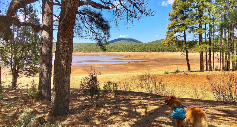
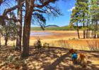
Emme of Apackof2 for the Road on near Lakeside. Photo by Joan Fabiano.
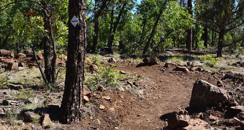
Blue Ridge Trail
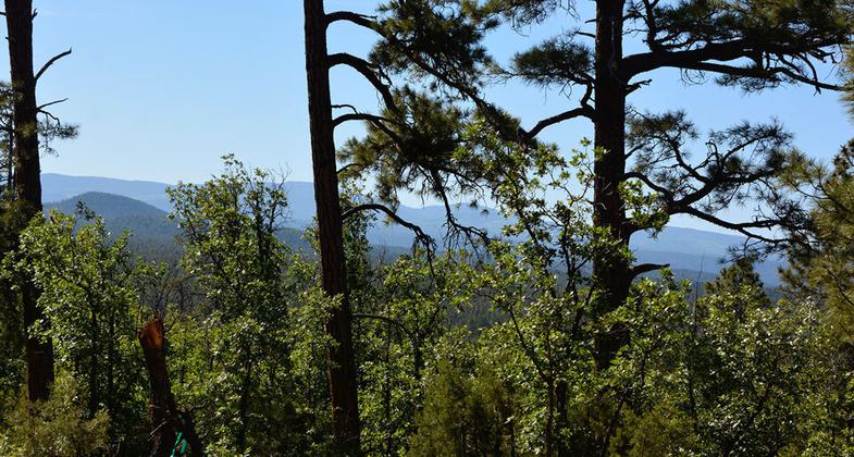
View from Blue Ridge Trail
Location: In the Apache-Sitgreaves NF from Lakeside S on SR 260, E on Bucksprings Rd, N on FS Rd. 182, W on FS Rd. 187.
- States: Arizona
The trail follows Billy Creek and winds its way through a ponderosa pine forest to the top of Blue Ridge Mountain. The mountain is volcanic and summit offers scenic vistas. Portions of the trail follow logging roads, connector trails head SE and NW.
Accessibility Information
No text provided.
Allowed Uses:
Hiking/WalkingPublic Contact
Apache-Sitgreaves National ForestLakeside Ranger District
Lakeside, AZ 85929
(928) 368-2100
www.fs.usda.gov/detail/asnf/+
Contact the trail manager for current maps and visiting details.
More Details
- Elevation (low): --
- Elevation (high): --
- Elevation (cumulative): --
- Part of a Trail System? No
- Surface (primary): --
- Surfaces (additional): --
- Tread Width (average): 36"
- Tread Width (minimum): --
- Running length (minimum): --
- Tread Grade (average, percent): --
- Tread Grade (maximum):
- Running length (maximum): --
- Cross-slope (average, percent): --
- Cross-slope (maximum): --
- Running length (maximum): --
- Certified as an NRT
Jan 31, 1979