Blackwater Creek
This information is a public record of the 1981 NRT application and may be out of date if it has not been updated by a trail manager --
check with the trail manager for updated details before visiting.
check with the trail manager for updated details before visiting.
Blackwater Creek
City, Town, or County
- Length
8.6 miles
- Elevation Gain
--
- Route Type
out & back
- Length
8.6 miles - Elevation Gain
-- - Route Type
out & back
Built along an abandoned railway bed, this three-mile paved trail is perfect for jogging, walking, or biking.
Location: Just north of downtown Lynchburg along Blackwater Creek.
- States: Virginia
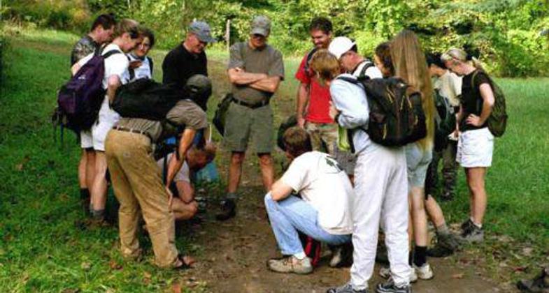
The Blackwater Creek Trail is one of the most popular trails in the city. Following along the winding Blackwater Creek and built along an abandoned railway bed, this three-mile paved trail is perfect for jogging, walking, or biking. It trail travels through a lovely urban forest and is intersected at various points with earthen trails that allow visitors to delve deeper into the forested area and enjoy the many plants and wildlife species inhabiting it.
Accessibility Information
No text provided.
Allowed Uses:
Hiking/WalkingPublic Contact
City of LynchburgBlackwater Creek
Lynchburg, VA 24505
Contact the trail manager for current maps and visiting details.
More Details
- Elevation (low): --
- Elevation (high): --
- Elevation (cumulative): --
- Part of a Trail System? No
- Surface (primary): --
- Surfaces (additional): --
- Tread Width (average): 0"
- Tread Width (minimum): --
- Running length (minimum): --
- Tread Grade (average, percent): --
- Tread Grade (maximum):
- Running length (maximum): --
- Cross-slope (average, percent): --
- Cross-slope (maximum): --
- Running length (maximum): --
- Certified as an NRT
Jan 11, 1981