Blacktail - Wild Bill
This information is a public record of the 1979 NRT application and may be out of date if it has not been updated by a trail manager --
check with the trail manager for updated details before visiting.
check with the trail manager for updated details before visiting.
Blacktail - Wild Bill
USDA Forest Service
Backcountry Trail
- Length
12.5 miles
- Elevation Gain
--
- Route Type
out & back
- Length
12.5 miles - Elevation Gain
-- - Route Type
out & back
The Blacktail Wild Bill ORV trail system is open for the following uses: 3 or 4 wheeled vehicles, 2 wheeled vehicles, mountain biking, horseback riding, and hiking.

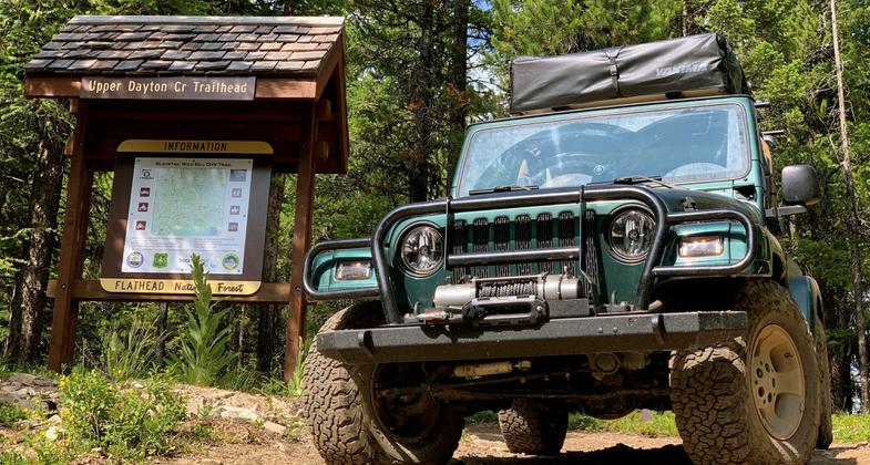
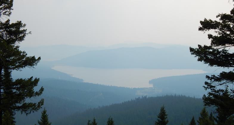
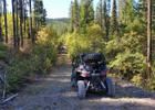
Photo by USFS.
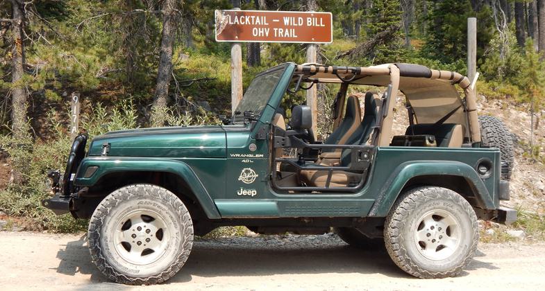
Tracking centerline GPX data in my 2000 Jeep Wrangler TJ Sahara. Photo by Eric Davis.
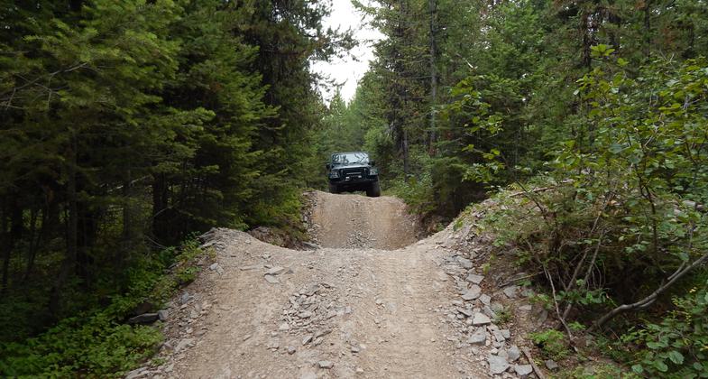
Earning a Jeep Badge of Honor for the Blacktail-Wild Bill Trail. Photo by Eric Davis.
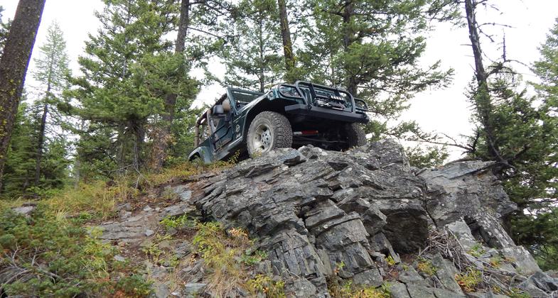
Earning a Jeep Badge of Honor for the Blacktail-Wild Bill Trail. Photo by Eric Davis.
Earning a Jeep Badge of Honor for the Blacktail-Wild Bill Trail. Photo by Eric Davis.
Earning a Jeep Badge of Honor for the Blacktail-Wild Bill Trail. Photo by Eric Davis.

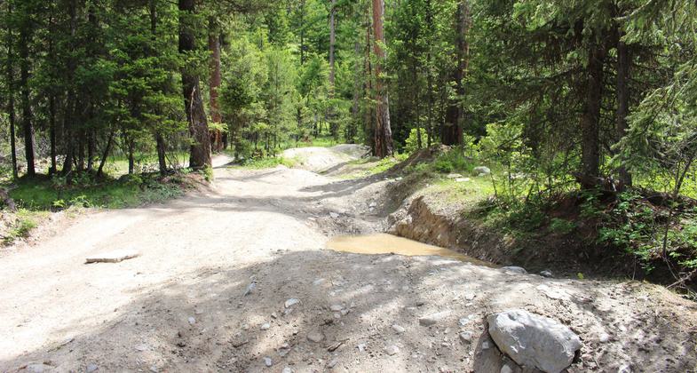
Photo by USFS.
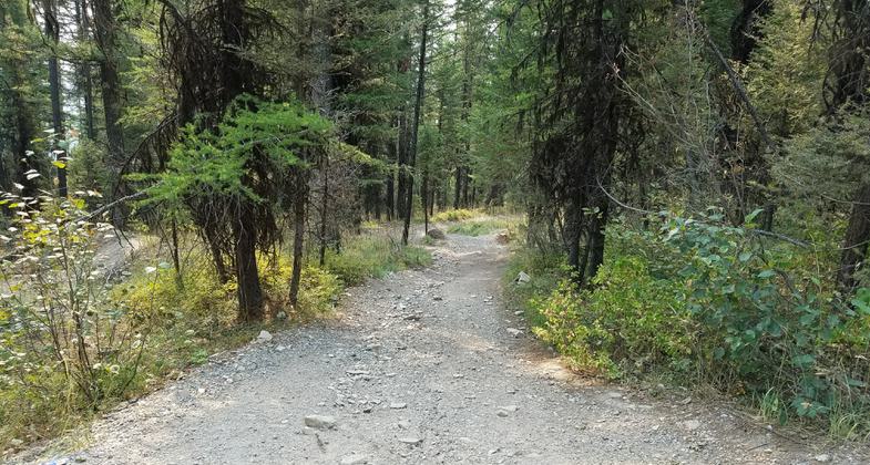
Photo by USFS.
Photo by USFS.
Location: Rural, 15 mi. southwest of Kalispell near Blacktail Mountain.
- States: Montana
- Counties: Lincoln
The Blacktail Wild Bill ORV trail system has three legs. One begins off of Blacktail Mt. Road on Road #917a and intersects with the other two trails which begin off of Truman Creek Rd #213 and from the trailhead on Road #2990. The trail is open for the following uses: three or four-wheeled vehicles, two-wheeled vehicles, mountain biking, horseback riding, and hiking.
Accessibility Information
No text provided.
Allowed Uses:
Bicycling Equestrian Hiking/Walking Motorized vehicles, – ATV/ORV Motorized vehicles, – four-wheel drive Motorized vehicles, motorcycling Motorized vehicles, snowmobiling Snow, cross-country skiing Snow, snowshoeingOther Activities
- Snow, snow play general
Public Contact
Remy H. PochelonFlathead National Forest, R-1
Swan Lake Ranger District
Big Fork, MT 59911
(406) 837-5507
Contact the trail manager for current maps and visiting details.
More Details
- Elevation (low): --
- Elevation (high): --
- Elevation (cumulative): --
- Part of a Trail System? No
- Surface (primary): --
- Surfaces (additional): --
- Tread Width (average): 120"
- Tread Width (minimum): --
- Running length (minimum): --
- Tread Grade (average, percent): --
- Tread Grade (maximum):
- Running length (maximum): --
- Cross-slope (average, percent): --
- Cross-slope (maximum): --
- Running length (maximum): --
- Certified as an NRT
Jan 4, 1979