Big Four Ice Caves Trail
check with the trail manager for updated details before visiting.
Big Four Ice Caves Trail
USDA Forest Service
Backcountry Trail
- Length
1 mile
- Elevation Gain
--
- Route Type
out & back
- Length
1 mile - Elevation Gain
-- - Route Type
out & back
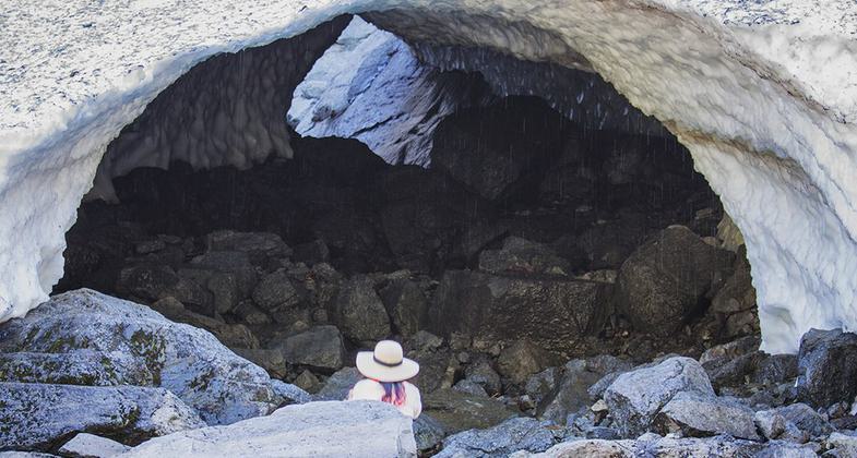
One of Big Four ice caves. Photo by Steven Pavlov.
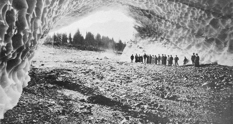
1916 - Cavern Beneath Millions of Tons of Ice in the Monte Cristo Mining District of Western Washington. Photo by Frank J. Nowell (1864-1950).
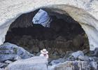
Big Four Ice Caves. Photo by Robert Ashworth.
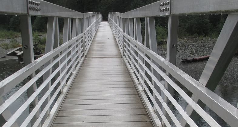
Trail to Big Four Ice Caves. Photo by Robert Ashworth.
Location: Mt. Baker-Snoqualmie National Forest; Darrington Ranger District, east of Silverton in the Mt. Baker-Snoqualmie National Forest between Twin Peaks & Vesper Peak.
- States: Washington
- Counties: Snohomish
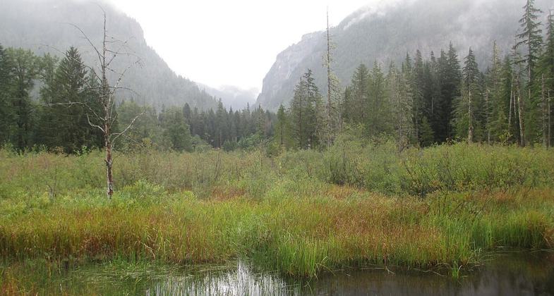
The one-mile Ice Caves Trail crosses the river about one-third mile from the trailhead and continues beyond the river to the base of Big Four Mountain, where the ice caves form. The easy hike gains 200 feet, and ends at the 4,000-foot tall north wall of the Big Four Mountain featuring the lowest elevation glacier in the lower 49 states.
Warmer Weather Increases Danger at Big Four Ice Caves: Hikers should be aware that there is an increased risk of collapse of the ice caves in warmer weather. Visitors are urged to stay on the trail, NOT to enter the cave, and to take extreme caution in the area outside the caves below Big Four Mountain as well, which is prone to falling rocks and ice.
Accessibility Information
No text provided.
Allowed Uses:
Hiking/WalkingOther Activities
- Wildlife viewing / observation
Public Contact
Erica KeeneMt. Baker-Snoqualmie National Forest
Darrington Ranger District
Darrington, WA 98247
(360) 436-1155
Contact the trail manager for current maps and visiting details.
More Details
- Elevation (low): 1700
- Elevation (high): 1900
- Elevation (cumulative): --
- Part of a Trail System? No
- Surface (primary): Rock, crushed
- Surfaces (additional): Rock, crushed
- Tread Width (average): 36"
- Tread Width (minimum): --
- Running length (minimum): --
- Tread Grade (average, percent): 10
- Tread Grade (maximum): 12
- Running length (maximum): --
- Cross-slope (average, percent): --
- Cross-slope (maximum): --
- Running length (maximum): --
- Certified as an NRT
Jan 30, 1978