Big Dry Creek Trail
check with the trail manager for updated details before visiting.
Big Dry Creek Trail
City, Town, or County
Urban Trail
- Length
9.5 miles
- Elevation Gain
--
- Route Type
out & back
- Length
9.5 miles - Elevation Gain
-- - Route Type
out & back
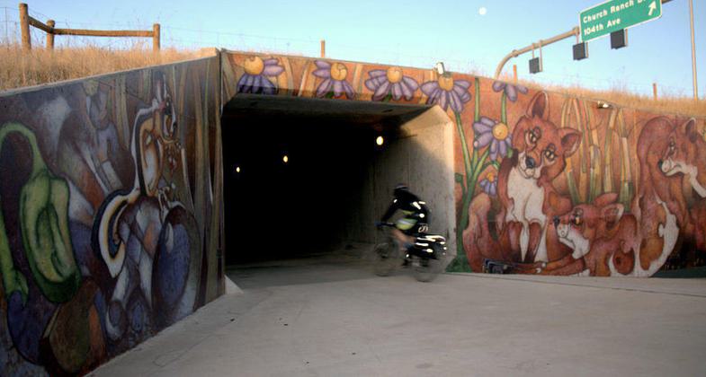
Big Dry Creek National Recreation Trail in Westminster, Colorado; photo by Hans Reichgelt.
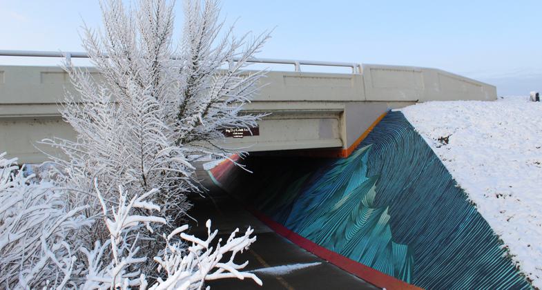
Snowy Morning. Photo by Julia Kast.
The Salamander. Photo by Hans Reichgelt.
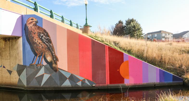
"Redtail Sunset" Artist Andrew Davis' beautification work along Big Dry Creek Trail. Photo by Hans T. Reichgelt.
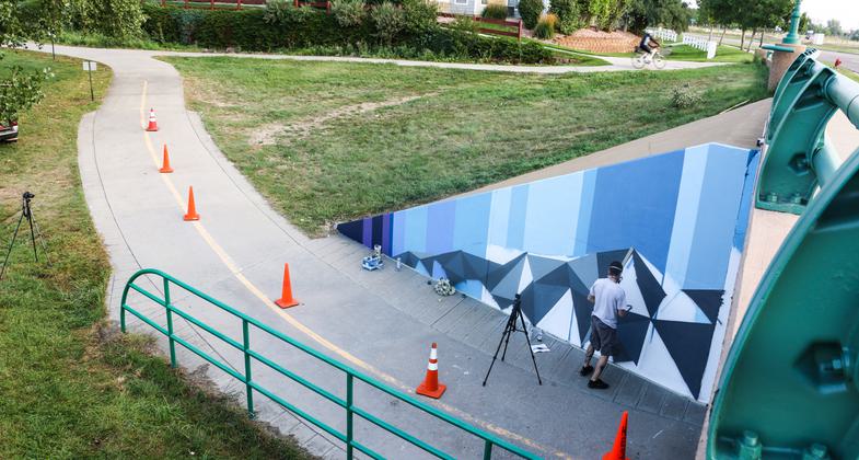
Artist Andrew Davis' beautification work along Big Dry Creek Trail. Photo by Hans T. Reichgelt.
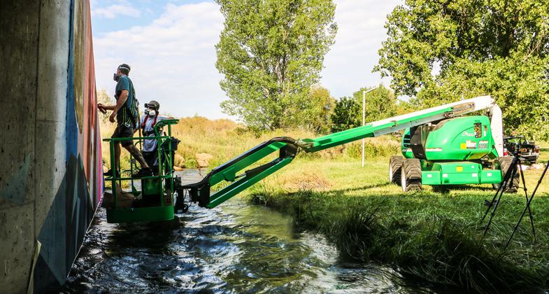
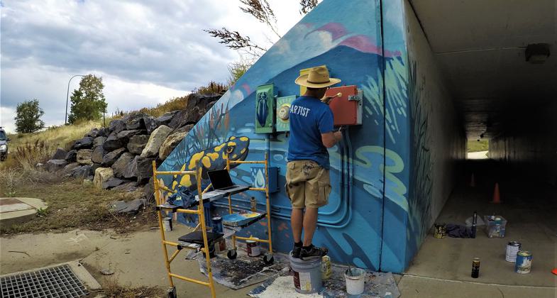
"Over the Creek" Artist Andrew Davis hangs over the water to paint his mural. Photo by Hans T. Reichgelt.
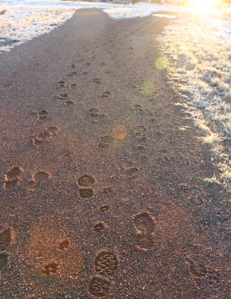
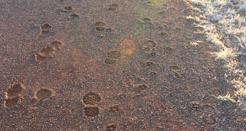
The muddy trail froze into perfect casts of their tracks, leaving a small story behind, open for the mind's interpretation. Photo by Hans T. Reichgelt.
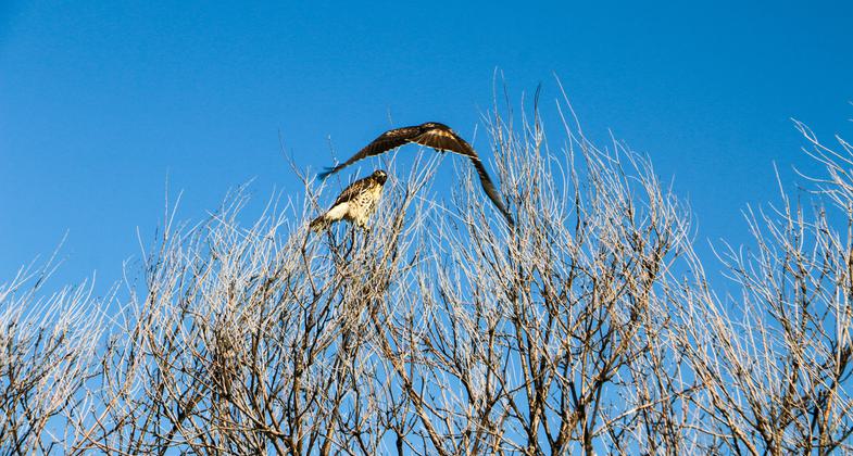
"FLY BY" Two Swainson's Hawks hunt and play together in the open space. Photo by Hans T. Reichgelt.
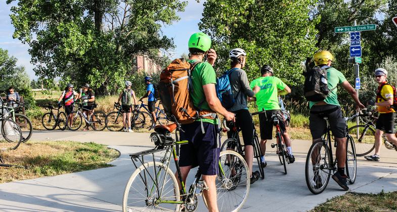
"Bike Congestion" Colorado Bike to Work Day. Photo by Hans T. Reichgelt.
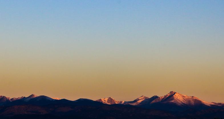
Million Dollar View. Photo by Hans T. Reichgelt.

Location: Westminster, Colorado
- States: Colorado
- Counties: Adams, Jefferson
Westminster began the preservation of the Big Dry Creek Open Space and Trail Corridor in 1989 with the acquisition of four acres. Since then, almost 700 acres have been acquired along this 9.5-mile corridor, which travels through the middle of the City. Acquisition of this corridor is for open space, trail, natural area, and view preservation. Abundant wildlife and native vegetation thrive along the trail corridor, bringing tranquility to this otherwise urban center. The Big Dry Creek Trail is a regional trail and ultimately this corridor will allow connections to be made to the South Platte River Corridor and to the communities of Broomfield, Thornton, and Northglenn to the east.
Accessibility Information
No text provided.
Allowed Uses:
Bicycling Hiking/WalkingPublic Contact
Rod LarsenCity of Westminster, Colorado
4800 W. 92nd Ave.
Westminster, CO 80031
[email protected] • (303) 430-2400
www.ci.westminster.co.u
Contact the trail manager for current maps and visiting details.
More Details
- Elevation (low): 5182
- Elevation (high): 5534
- Elevation (cumulative): --
- Part of a Trail System? No
- Surface (primary): Rock, crushed
- Surfaces (additional): Rock, crushed
- Tread Width (average): 90"
- Tread Width (minimum): --
- Running length (minimum): --
- Tread Grade (average, percent): 1
- Tread Grade (maximum): 5
- Running length (maximum): --
- Cross-slope (average, percent): --
- Cross-slope (maximum): --
- Running length (maximum): --
- Certified as an NRT
Jun 4, 2003