Bearwaller Gap Hiking Trail
This information is a public record of the 1978 NRT application and may be out of date if it has not been updated by a trail manager --
check with the trail manager for updated details before visiting.
check with the trail manager for updated details before visiting.
Bearwaller Gap Hiking Trail
U.S. Corps of Engineers
Backcountry Trail
- Length
5.6 miles
- Elevation Gain
--
- Route Type
out & back
- Length
5.6 miles - Elevation Gain
-- - Route Type
out & back

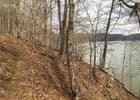
The hiking trail traces the shoreline of Cordell Hull Lake and is blazed in blue dots. Photo by Donna Kridelbaugh.

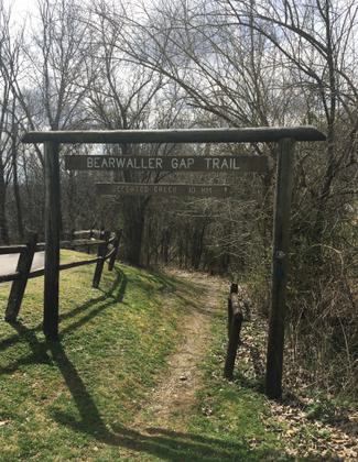
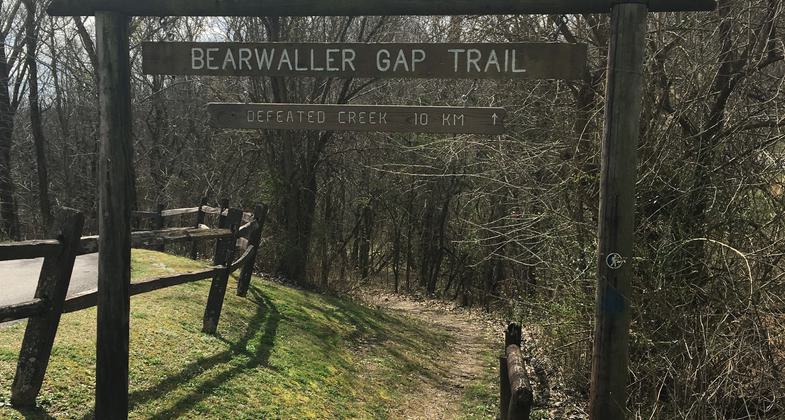
East-end trail entrance at Defeated Creek Campground. Photo by Donna Kridelbaugh.

Trail gently winds through a mossy forest. Photo by Donna Kridelbaugh.
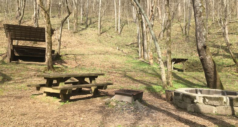
Two Prong primitive camping site located along the trail. Photo by Donna Kridelbaugh.
West-end trail entrance at Tater Knob Scenic Overlook. Photo by Donna Kridelbaugh.
Location: Near Carthage, on the north side of Cordell Hull Lake east of Tennessee 85.
- States: Tennessee
- Counties: Smith
This is one of the finest paths in Middle Tennessee. It extends along the wooded and rugged shoreline of Cordell Hull Lake for more than five miles, passing waterfalls, old homesites, and rocky overlooks. It will challenge hardy hikers as it climbs and descends numerous times.
Accessibility Information
No text provided.
Allowed Uses:
Dogs, on leash Hiking/WalkingOther Activities
- Camping
Public Contact
US Army Corps of EngineersCordell Hull Lake
Carthage, TN 37030
(615) 735-1034
www.lrn.usace.army.mil/Locations/Lakes/Cordell-Hull-Lake
Contact the trail manager for current maps and visiting details.
More Details
- Elevation (low): 505
- Elevation (high): 859
- Elevation (cumulative): --
- Part of a Trail System? No
- Surface (primary): Soil
- Surfaces (additional): --
- Tread Width (average): 0"
- Tread Width (minimum): --
- Running length (minimum): --
- Tread Grade (average, percent): --
- Tread Grade (maximum):
- Running length (maximum): --
- Cross-slope (average, percent): --
- Cross-slope (maximum): --
- Running length (maximum): --
- Certified as an NRT
May 31, 1978