Bayside Trail
check with the trail manager for updated details before visiting.
Bayside Trail
National Park Service
Backcountry Trail
- Length
2 miles
- Elevation Gain
--
- Route Type
out & back
(1 review)
- Length
2 miles - Elevation Gain
-- - Route Type
out & back
Begin near the Old Point Loma Lighthouse, descend 300 feet through native coastal sage scrub for 1 mile, past remnants of coat defense system that protected harbor during WWI & II, with dramatic views of San Diego Bay.
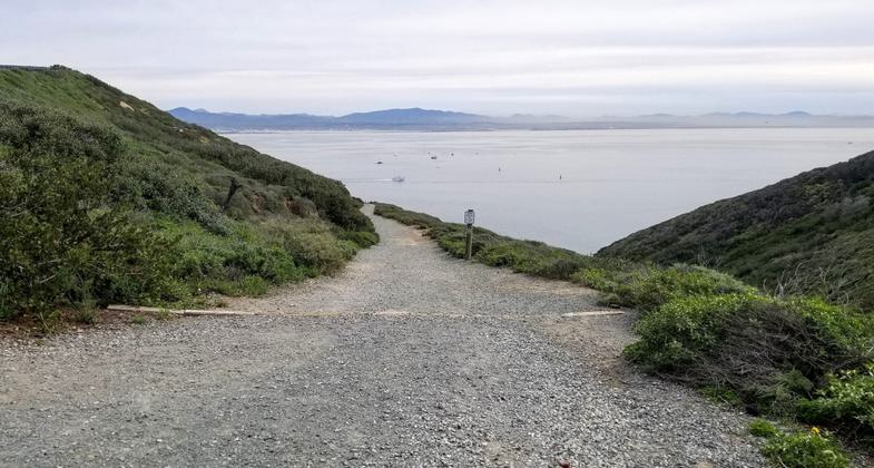
View of Mexico from the Bayside Trail. Photo by Craig Bellavance.

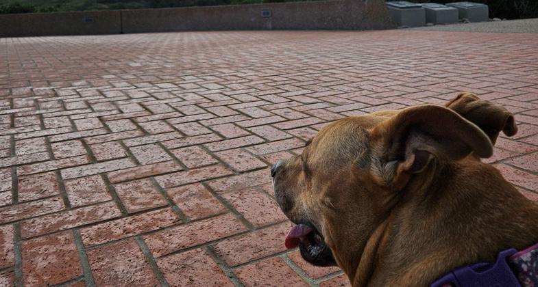
Dogs are not allowed on natural surface trails, but we can look from the monument! Photo by Sue Crowe

A cloudy day made for great photos from the top of trail. We had our dog with us. Photo by Sue Crowe

A cloudy day made for great photos from the top of trail. We had our dog with us. Photo by Sue Crowe

A cloudy day made for great photos from the top of trail. We had our dog with us. Photo by Sue Crowe

A cloudy day made for great photos from the top of trail. We had our dog with us. Photo by Sue Crowe

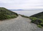
The trail follows an old military road. Photo by NPS.

Bayside Trailhead Sign. Photo by Craig Bellavance.

Bayside Trail Access Data. Photo by Craig Bellavance.

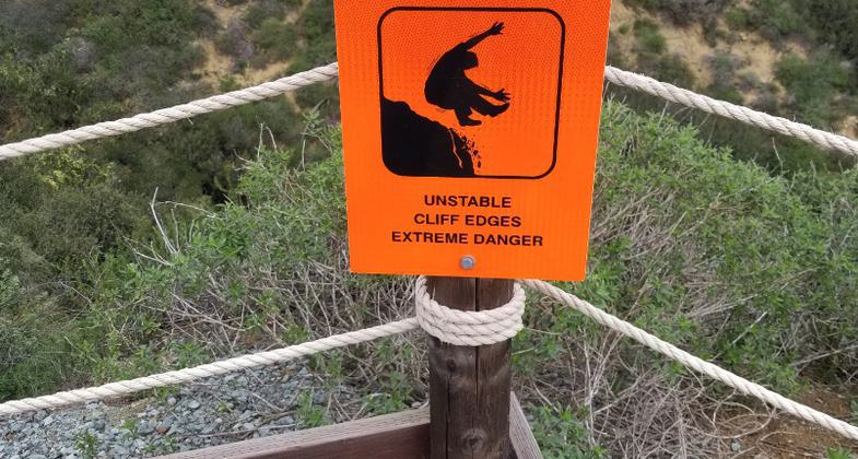
The Bayside Trail is safe, but be careful! Photo by Craig Bellavance.
Location: In San Diego at Cabrillo Nat. Mon., connecting visitor center to Old Point Loma Lighthouse overlooking San Diego Bay.
- States: California
- Counties: San Diego
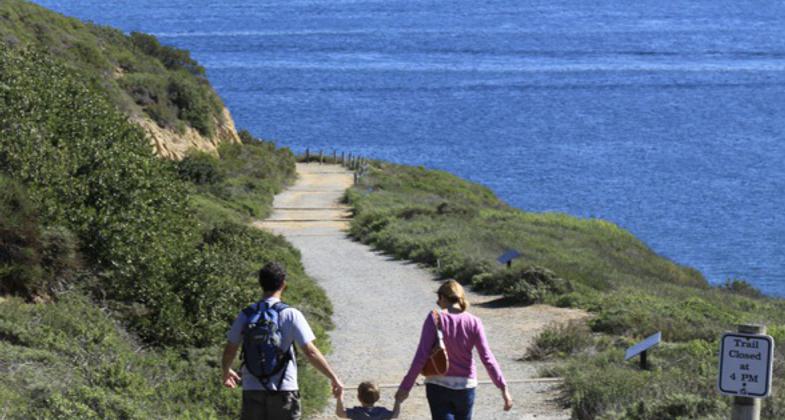
On the southeast side of the park, the trail follows an old military road winding down from the top of the park toward San Diego Bay. On a clear day you can see the mountains of Mexico to the south, the Laguna mountains to the east behind the San Diego skyline, North Island Naval Air Station, and the Coronado Bridge. The 2.5-mile roundtrip is easily done by kids and adults of all hiking abilities. But even though it's relatively short, the uphill return gives a good workout with an approximately 340-foot elevation gain that could be challenging for hikers with respiratory or heart problems. Benches and stopping points provide perfect places to take in one of the most beautiful views in the county while you catch your breath. Hiking time is estimated at 1 to 2 hours, though you are likely to encounter many repeat local visitors using it as part of their weekly workout ( ½ hour round-trip). There are no restrooms or water along this trail, so hikers are asked to bring water with them, especially in the warm summer months. There is also no access to the beach at any point on the trail, and pets and bikes are not allowed. As in any natural area, there are environmental hazards to watch out for, including toxic plants and animals and fragile cliff face. The downhill portion of the trail ends overlooking Ballast Point where nuclear-powered submarines are now docked in the same place Cabrillo's ships anchored after three months at sea in 1542. Cabrillo's statue looms on the bluff about 300 feet above you. You're at the halfway point.
Accessibility Information
No text provided.
Reviews
Craig
Short but enjoyable hike
Located within Cabrillo National Monument, the Bayside Trail is a scenic 2-mile hike beginning from the Visitors Center parking lot. The trail itself is approximately 1.86 miles round trip, as indicated by the trailhead sign. The pathway consists mainly of gravel, while the road and sidewalk leading to the trailhead are paved with asphalt. This non-looped trail has a two-directional path that takes you down to the bottom and then back up. Although younger children may complain about the walk, grandparents will surely enjoy it, as I witnessed during my visit. The hike provides stunning views of Mexico, downtown San Diego, and Naval Air Station North Island. Moreover, I had the pleasure of spotting a pair of dolphins enjoying the day, making this a memorable and enjoyable hike.
Allowed Uses:
Hiking/WalkingPublic Contact
Cabrillo National Monument1800 Cabrillo Memorial Dr.
San Diego, CA 92106
(619) 557-5450
Contact the trail manager for current maps and visiting details.
More Details
- Elevation (low): --
- Elevation (high): --
- Elevation (cumulative): --
- Part of a Trail System? No
- Surface (primary): Soil
- Surfaces (additional): --
- Tread Width (average): 60"
- Tread Width (minimum): --
- Running length (minimum): --
- Tread Grade (average, percent): --
- Tread Grade (maximum):
- Running length (maximum): --
- Cross-slope (average, percent): --
- Cross-slope (maximum): --
- Running length (maximum): --
- Certified as an NRT
Apr 11, 1984