Bartram Trail
check with the trail manager for updated details before visiting.
Bartram Trail
USDA Forest Service
Backcountry Trail
- Length
78.4 miles
- Elevation Gain
--
- Route Type
out & back
(1 review)
- Length
78.4 miles - Elevation Gain
-- - Route Type
out & back
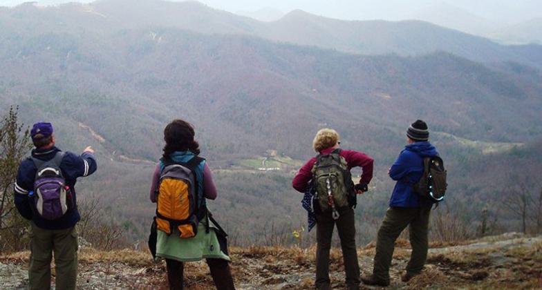
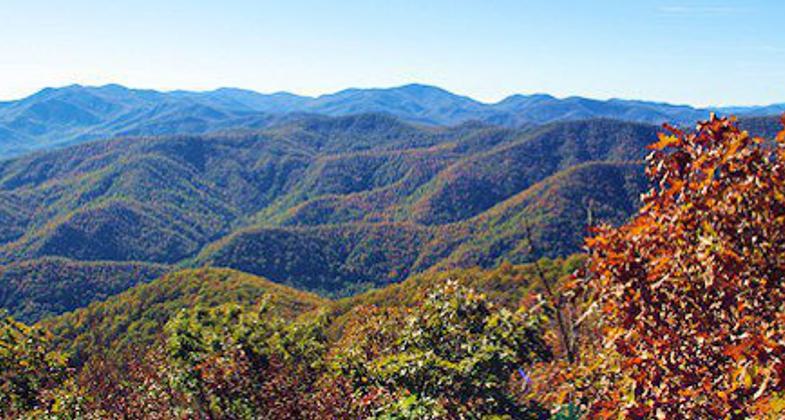
View from Whiterock Mountain on the Fishhawk Range. Photo by BTS.
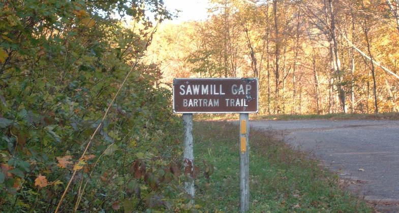
Bartram Trail at Sawmill Gap. Photo by Cliff Hardin.
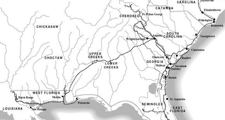
Bartram’s Route 1773-1776. Photo by BTS.
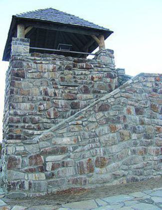
Wayah Bald Lookout Tower. Photo by BTS.
View from Wayah Bald. Photo by BTS.
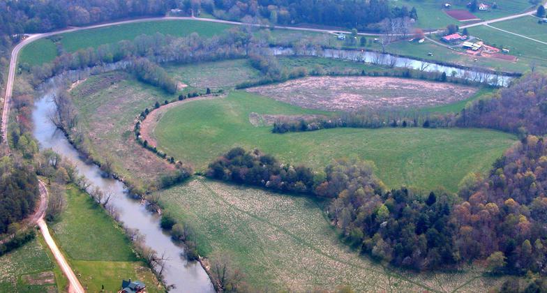
Photo by BTS.
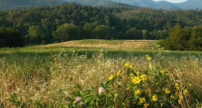
Photo by BTS.
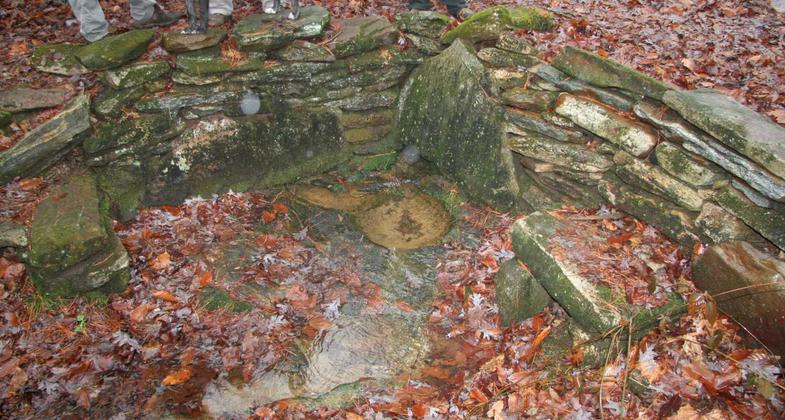
Photo by BTS.
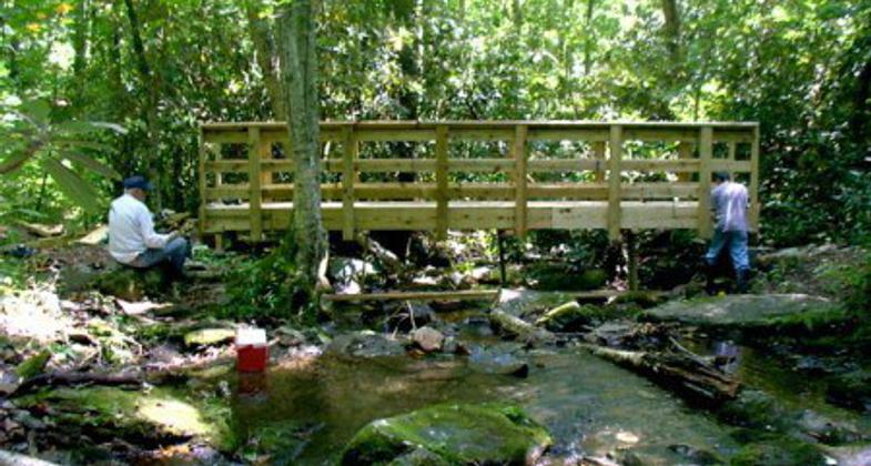
BTS Trail crew members build new bridge on Ledbetter Creek near Cheoah Bald. Photo by BTS.
Location: The trail starts at the NC/GA border near Scaly Mountain and ends at Cheoah Bald near Robbinsville
- States: North Carolina
The Bartram Trail follows the path that the famous botanist, William Bartram, took in the 1700s. It traverses the path through Georgia and North Carolina for 78 miles and provides some great opportunities for backpacking. One section includes a road/trail route or a canoe route. Part of the trail is located on private lands and public roads.
Accessibility Information
No text provided.
Reviews
Cliff"Cliffhanger" Hardin
MY FAVORITE TRAIL-The Bartram Trail
My first long-distance hike was The Appalachian Trail in 1989-90. I enjoyed that hike so much that I went hiking as much as possible and I now have over 12,000 trail miles
Of all the trails that I have hiked The Bartram Trail is my FAVORITE TRAIL.
I first hiked the Bartram Trail when I was preparing for my 2003 Pacific Crest Trail thru-hike. I hiked it again, prior to my 2005 Continental Divide thru-hike. I enjoyed those two Bartram Trail hikes so much that I hiked it three more times and plan on hiking it again.
Allowed Uses:
No data provided.
Other Activities
- Camping
- Fishing
Public Contact
None provided
Contact the trail manager for current maps and visiting details.
More Details
- Elevation (low): 1900
- Elevation (high): 5342
- Elevation (cumulative): --
- Part of a Trail System? No
- Surface (primary): Soil
- Surfaces (additional): Soil
- Tread Width (average): 48"
- Tread Width (minimum): --
- Running length (minimum): --
- Tread Grade (average, percent): 8
- Tread Grade (maximum): 15
- Running length (maximum): --
- Cross-slope (average, percent): --
- Cross-slope (maximum): --
- Running length (maximum): --
- Certified as an NRT
May 11, 1985