Bandelier Backcountry Trail
check with the trail manager for updated details before visiting.
Bandelier Backcountry Trail
National Park Service
Backcountry Trail
- Length
30 miles
- Elevation Gain
--
- Route Type
out & back
- Length
30 miles - Elevation Gain
-- - Route Type
out & back
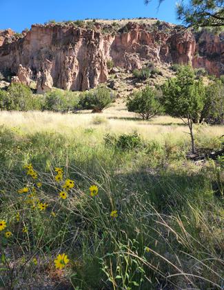
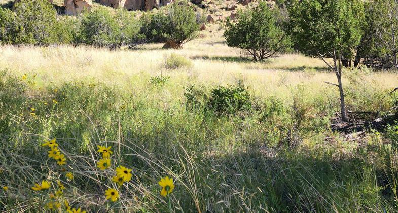
The Bandelier backcountry is renowned for its wildness, beauty, and its relative ease of access
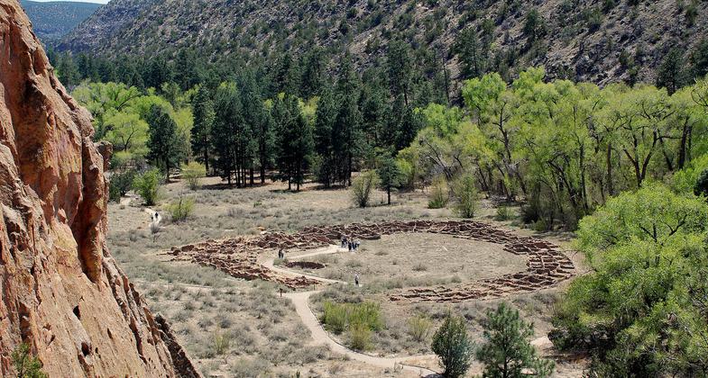
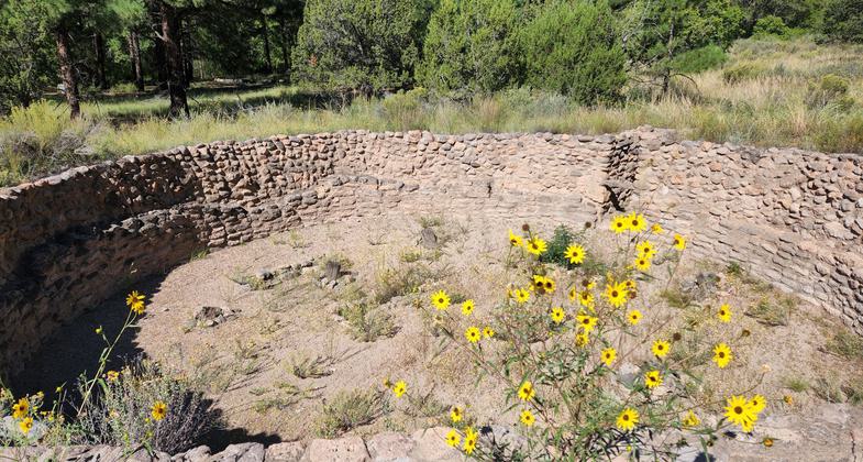
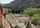
Tyuonyi Village. Photo by Sally King courtesy NPS.
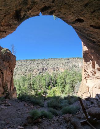
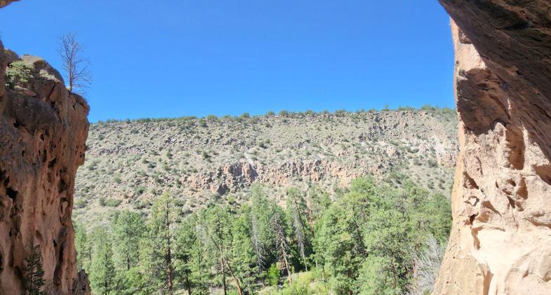
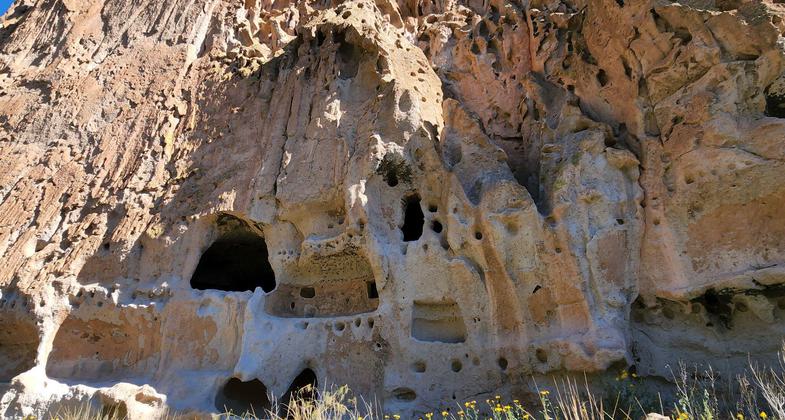
Bandelier National Monument - New Mexico - Cliff Dwellings - Alcove House
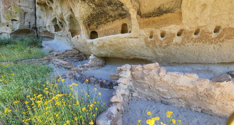
Bandelier National Monument - New Mexico - Cliff Dwellings - Alcove House
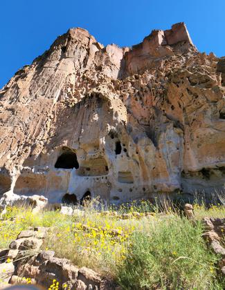
Bandelier National Monument - New Mexico - Cliff Dwellings - Alcove House
Bandelier National Monument - New Mexico - Cliff Dwellings - Alcove House
Bandelier National Monument - New Mexico - Cliff Dwellings - Alcove House
Tsankawi. Photo by Sally King courtesy NPS.
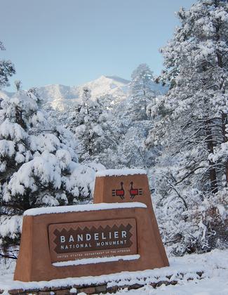
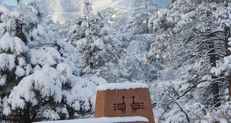
Park Entrance Sign in Winter. Photo by Sally King courtesy NPS.
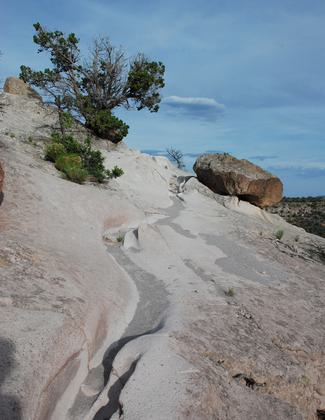
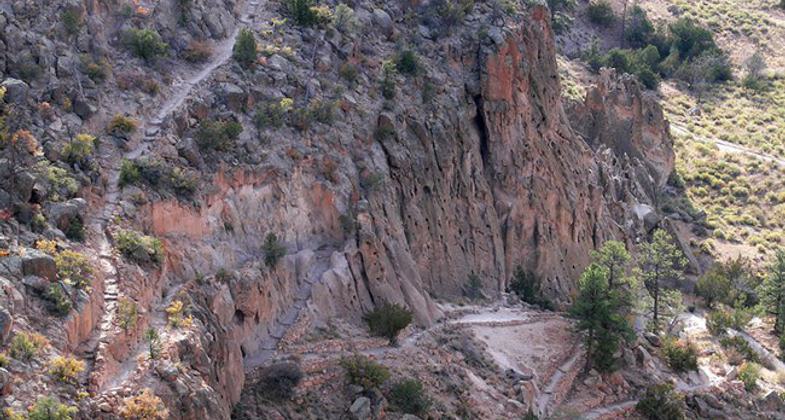
Some trails include steep switchbacks and can be icy in winter. Photo by Sally King courtesy NPS.
Location: At Bandelier National Monument near Laos Alamos.
- States: New Mexico
Bandelier National Monument has over 70 miles of trail within its boundaries and many more miles that connect out into the adjacent Santa Fe National Forest Lands.
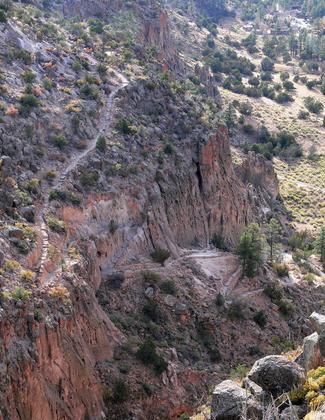
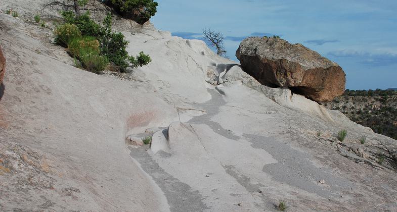
Trails tend to follow mesa edges or transect canyons and mesas. Some of these trails include steep switchbacks and long drop-offs. Trails can be very icy in winter or early spring. Some trails marked on older maps are no longer maintained and may be impossible to find.
The most popular of these trails is the Main Loop Trail and Alcove House Trail which are accessed from the visitor center in Frijoles Canyon. These trails take you to many Ancestral Pueblo sites.
The Falls Trail is another trail that is very popular. It takes you to a beautiful waterfall. Before the flash floods of 2011, the trail continued to the Lower Falls and ultimately to the Rio Grande. Flooding destroyed the trail leaving no access to the Rio Grande from Frijoles Canyon. There are no archeological sites on this trail.
A permit is required for any overnight stays in the Bandelier backcountry. Permits are free, and must be obtained in person anytime the visitor center is open except for the last 20 minutes before closing. You may obtain a permit the day of your trip, or a maximum of 48 hours before your planned backcountry trip begins.
Accessibility Information
No text provided.
Allowed Uses:
Hiking/WalkingPublic Contact
Bandelier National Monument15 Entrance Road
Los Alamos, NM 87544
(505) 672-3861
www.nps.gov/band
Contact the trail manager for current maps and visiting details.
More Details
- Elevation (low): --
- Elevation (high): --
- Elevation (cumulative): --
- Part of a Trail System? No
- Surface (primary): --
- Surfaces (additional): --
- Tread Width (average): 0"
- Tread Width (minimum): --
- Running length (minimum): --
- Tread Grade (average, percent): --
- Tread Grade (maximum):
- Running length (maximum): --
- Cross-slope (average, percent): --
- Cross-slope (maximum): --
- Running length (maximum): --
- Certified as an NRT
Apr 12, 1982