Bald Mountain Trail
This information is a public record of the 1979 NRT application and may be out of date if it has not been updated by a trail manager --
check with the trail manager for updated details before visiting.
check with the trail manager for updated details before visiting.
Bald Mountain Trail
USDA Forest Service
Backcountry Trail
- Length
1.22 miles
- Elevation Gain
--
- Route Type
out & back
- Length
1.22 miles - Elevation Gain
-- - Route Type
out & back
The Bald Mountain Trail begins at River Run and winds its way up Baldy over 4.5 miles of switchbacks.
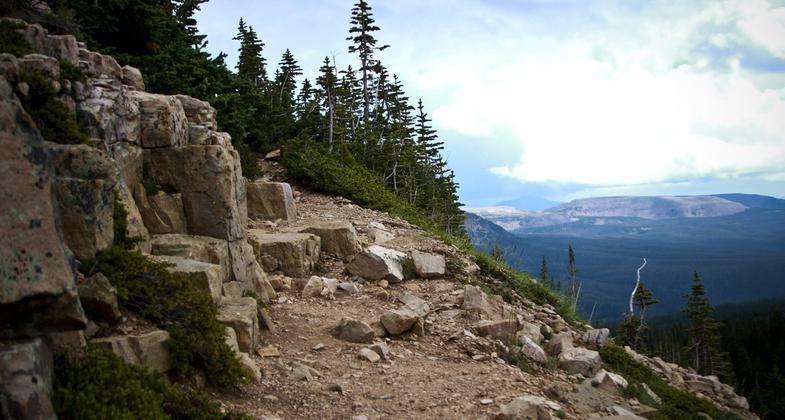
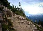
Overlook from trail in the basin. Photo by Allen Phelps.
Looking to unknown peak from trail. Photo by Allen Phelps.

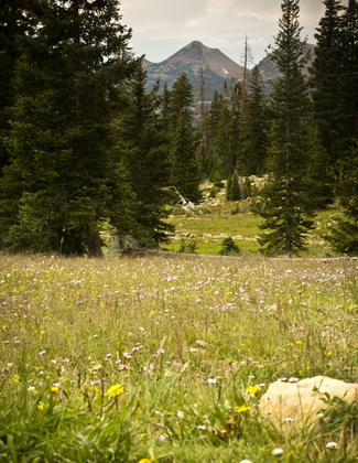
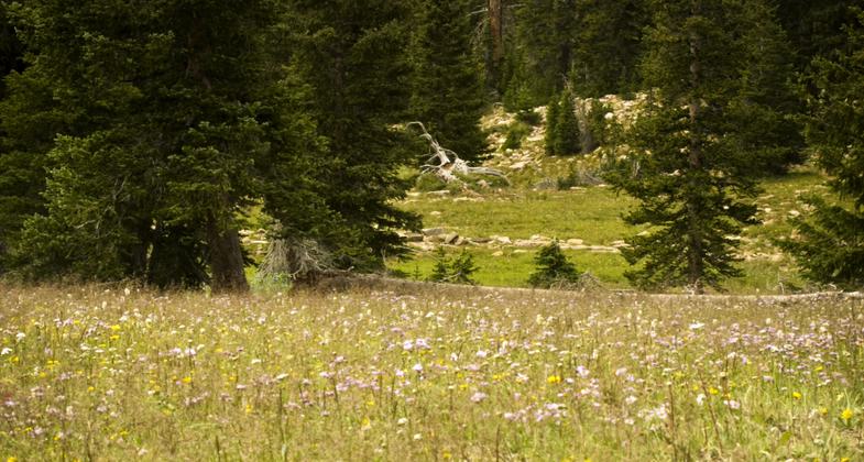
A glimpse of small and simple beauty along the hike. Photo by Allen Phelps.
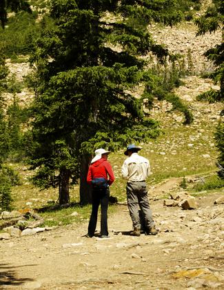
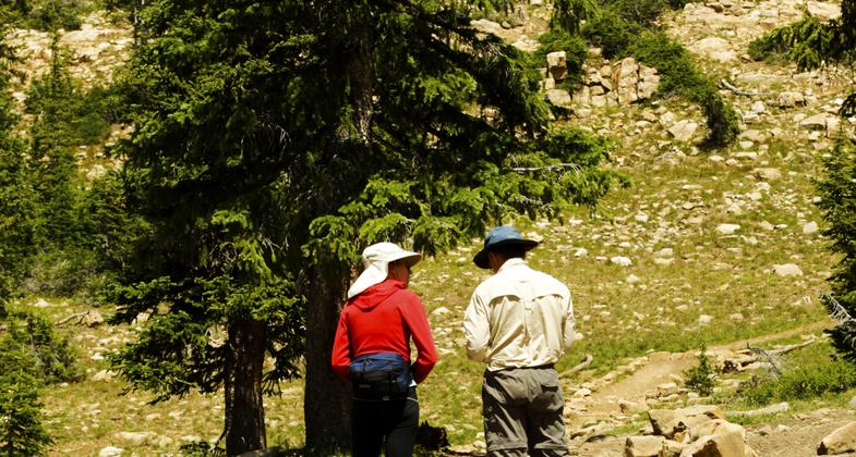
Photo by Sherrae Phelps.

Photo by Sherrae Phelps.
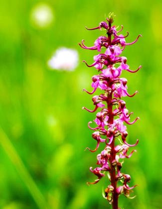
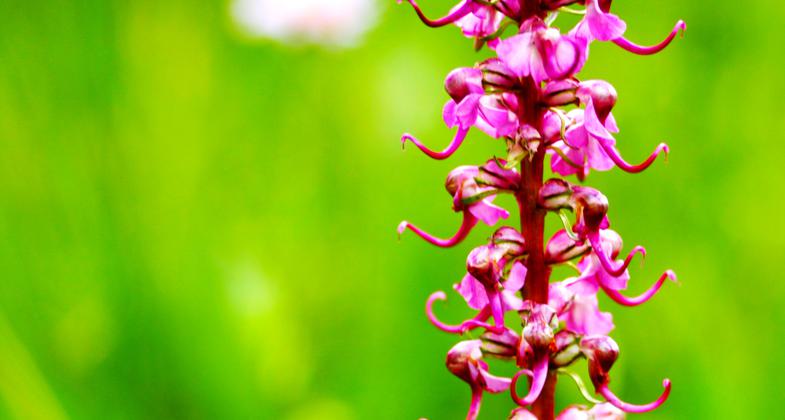
Flora near trailhead. Photo by Sherrae Phelps.

Location: rural, In the Uinta National Forest, 20 mi. NE of Provo.
- States: Utah
- Counties: Summit
Great hike for people with limited time but want a good view of High Uintas. Climbs steadily to the summit of Bald Mountain over rocky terrain. Spur to Weber River/lake. A number of lakes nearby so good for day, overnight, and weekend trips.
- High elevation trail
- Good views of Mirror Lake, other lakes, and High Uintas peaks.
- Late snow drifts can be challenging.
- Beware - dangerous lightning
- Chance of seeing mountain goats
- Other trails, lakes, and developed camping in the area
Accessibility Information
No text provided.
Allowed Uses:
Dogs, on leash Hiking/WalkingPublic Contact
USFS Wasatch-Cache National Forest Kamas RDKamas Ranger District
Kamas, UT 84036
(435) 783-4338
www.fs.fed.us/r4/wcnf
Contact the trail manager for current maps and visiting details.
More Details
- Elevation (low): 10800
- Elevation (high): 11943
- Elevation (cumulative): --
- Part of a Trail System? No
- Surface (primary): Soil
- Surfaces (additional): Soil
- Tread Width (average): 24"
- Tread Width (minimum): --
- Running length (minimum): --
- Tread Grade (average, percent): 15
- Tread Grade (maximum): 25
- Running length (maximum): --
- Cross-slope (average, percent): --
- Cross-slope (maximum): --
- Running length (maximum): --
- Certified as an NRT
Nov 16, 1979