Aspen Spring Trail
check with the trail manager for updated details before visiting.
Aspen Spring Trail
City, Town, or County
Backcountry Trail
- Length
10 miles
- Elevation Gain
--
- Route Type
out & back
- Length
10 miles - Elevation Gain
-- - Route Type
out & back
Ten miles of trails ranging in elevation from 6,200 feet to 8,250 feet.
Location: Hualapai Mountain Park, Kingman, AZ
- States: Arizona
- Counties: Mohave
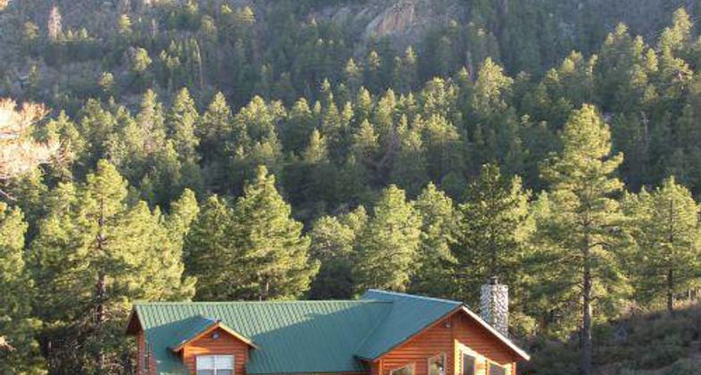
Aspen Spring Trail offers ten miles of trails for hikers, mountain bikers, and equestrians. The trail provides spectacular views of both the desert and mountain ranges. This historic trail was constructed in the 1930s by the Civilian Conservation Corps. It passes through a variety of vegetative life zones including riparian, chaparral, pine/oak, mixed conifer, and fir/aspen habitats. Part of the trail is from a converted abandoned mine which can be viewed from the trail. The trailhead is located in a wet canyon at 6,200 feet and ends on various mountain peaks at up to 8,250 feet. Past partners with this trail include the Bureau of Land Management, Arizona State Parks, Youth Conservation Corps, Mohave Trails Association, and the Boy Scouts of America.
Accessibility Information
No text provided.
Allowed Uses:
Bicycling Dogs, on leash Equestrian Hiking/Walking Motorized vehicles, – ATV/ORV Snow, cross-country skiing Snow, snowshoeingOther Activities
- Camping
- Snow, snow play general
- Wildlife viewing / observation
Public Contact
Shawn BlackburnMohave County Parks
P.O. Box 7000
Kingman, AZ 86402
[email protected] • (928) 757-0915
www.mcparks.com
Contact the trail manager for current maps and visiting details.
More Details
- Elevation (low): 6200
- Elevation (high): 8250
- Elevation (cumulative): --
- Part of a Trail System? No
- State Designations: Arizona State Trails System
- Surface (primary): Soil
- Surfaces (additional): --
- Tread Width (average): 40"
- Tread Width (minimum): --
- Running length (minimum): --
- Tread Grade (average, percent): 10
- Tread Grade (maximum): 18
- Running length (maximum): --
- Cross-slope (average, percent): --
- Cross-slope (maximum): --
- Running length (maximum): --
- Certified as an NRT
Jun 1, 2004