Arrowhead Trail
check with the trail manager for updated details before visiting.
Arrowhead Trail
City, Town, or County
Rail Trail
- Length
3.5 miles
- Elevation Gain
--
- Route Type
out & back
- Length
3.5 miles - Elevation Gain
-- - Route Type
out & back
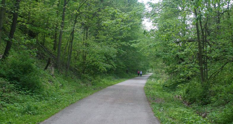
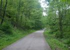
Photo by Peters Township Parks & Rec.
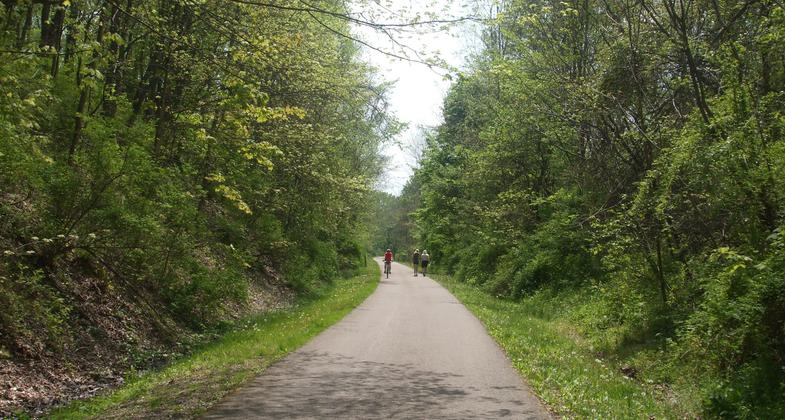
Photo by Peters Township Parks & Rec.
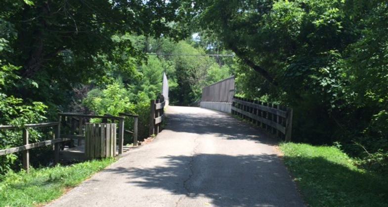
Photo by Peters Township Parks & Rec.
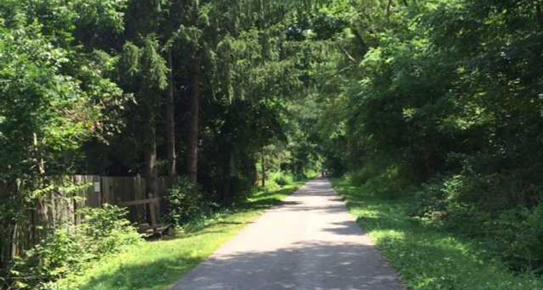
Photo by Peters Township Parks & Rec.
Location: Peters Township
- States: Pennsylvania
- Counties: Washington
Although the Montour Railroad was originally organized in 1877, our section wasn't built until 1912-1914. Horses and manual labor cleared and leveled the site. The railroad transported coal 55 miles from mines in Mifflin and Library. Sweeping west and north to a "coal laundry" facility in Allegheny County, the train carried coal to coke ovens, then on to the Ohio River. Its cars also hauled wood to nearby lumberyards and served general stores along its route. One of these stores was operated by the McMurray family here in Peters Township.
In 1975, the P&LE Railroad purchased the tracks; two years later the local portion was abandoned.
The township purchased the 100 acres of railroad right-of-way in 1985. With the help of state funds, the first phase was developed as a recreational multi-use trail as well as to preserve and reinstate the natural surroundings with native trees and wildflowers. Since its opening, the township has continued to expand and improve the trail.
Accessibility Information
No text provided.
Allowed Uses:
Bicycling Dogs, on leash Hiking/Walking Snow, cross-country skiing Snow, snowshoeingOther Activities
- Snow, snow play general
- Wildlife viewing / observation
Public Contact
Eddie FigasPeters Township
200 Municipal Drive
McMurray, PA 15317
[email protected] • (724) 942-5000
www.peterstownship.com
Contact the trail manager for current maps and visiting details.
More Details
- Elevation (low): --
- Elevation (high): --
- Elevation (cumulative): --
- Part of a Trail System? No
- Surface (primary): Paved
- Surfaces (additional): Paved
- Tread Width (average): 120"
- Tread Width (minimum): --
- Running length (minimum): --
- Tread Grade (average, percent): 1
- Tread Grade (maximum): 4
- Running length (maximum): --
- Cross-slope (average, percent): --
- Cross-slope (maximum): --
- Running length (maximum): --
- Certified as an NRT
Jun 4, 2003