Apalachicola River Paddling Trail System
check with the trail manager for updated details before visiting.
Apalachicola River Paddling Trail System
State
Water Trail (other)
- Length
100 miles
- Elevation Gain
--
- Route Type
out & back
- Length
100 miles - Elevation Gain
-- - Route Type
out & back
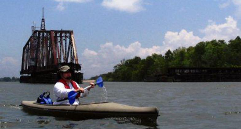
Eleven trails totaling about 100 miles in distance range from short, easy trips meandering through mysterious tupelo swamps to a variety of multi-day river trips flowing into open bays embracing the Gulf of Mexico.

Paddling past golden Cypress on Graham Creek. Photo by Doug Alderson.


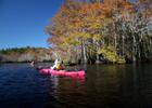
Fall Cypress along Whiskey George.

Paddlers in Tupelo Swamp.

Location: Apalachicola, Florida, Water trails northeast of Apalachicola in creeks and bayous off East Bay.
- States: Florida
- Counties: Franklin
Excellent opportunities for canoeing and kayaking entice paddlers with all levels of ability to enjoy a variety of scenic waterways along the lower estuary of the Apalachicola River. Eleven trails totaling about 100 miles in distance range from short, easy trips meandering through mysterious tupelo swamps to a variety of multi-day river trips flowing into open bays embracing the Gulf of Mexico. Primitive camping is allowed throughout the management area with no fees or permits required. Secure bike racks are located at three of the boat launch areas to help paddlers complete shuttle segments by off-road bike, providing more fitness options and conserving resources.
The best times to paddle are fall and spring when temperatures are pleasant, wildflowers are blooming, and birding opportunities are at their peak. Fresh and saltwater fishing opportunities abound throughout the estuary year-round. This area is part of the Great Florida Birding Trail and its outstanding diverse wildlife habitats support significant populations of both rare and common wildlife. Paddler magazine and the American Canoe Association named this trail system one of the top twelve recommended paddling destinations for 2006.
Accessibility Information
No text provided.
Allowed Uses:
Boating, motorized Boating, human-powered Hiking/WalkingOther Activities
- Camping
- Fishing
Public Contact
Jerrie LindseyFlorida Fish & Wildlife Conservation Commission
620 S. Meridian St. MC 5B4
Tallahassee, FL 32309
[email protected] • (850) 922-6160
More Details
- Elevation (low): --
- Elevation (high): --
- Elevation (cumulative): --
- Part of a Trail System? No
- State Designations: State Paddling Trail
- Surface (primary): Boardwalk
- Surfaces (additional): --
- Tread Width (average): 0"
- Tread Width (minimum): --
- Running length (minimum): --
- Tread Grade (average, percent): --
- Tread Grade (maximum):
- Running length (maximum): --
- Cross-slope (average, percent): --
- Cross-slope (maximum): --
- Running length (maximum): --
- Certified as an NRT
May 31, 2008