Angel of Goliad Trail
check with the trail manager for updated details before visiting.
Angel of Goliad Trail
City, Town, or County
Urban Trail
- Length
2 miles
- Elevation Gain
--
- Route Type
out & back
- Length
2 miles - Elevation Gain
-- - Route Type
out & back
Following the San Antonio River, this two-mile multi-use trail is rich with historical and natural treasures. This trail offers a haven for bird watchers and butterfly enthusiasts, while providing a key connection between historic downtown Goliad, Goliad State Historical Park, and the Presidio La Bahia. In addition to its scenic features, the trail provides opportunities for hiking, biking, and natural history interpretation.

Location: City of Goliad
- States: Texas
- Counties: Goliad
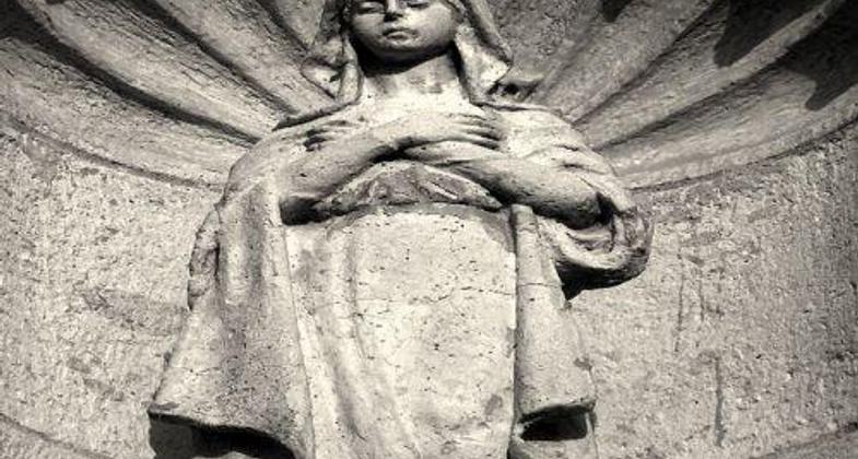
The Angle of Goliad Trail, a 2-mile hiking, bicycle, and pedestrian trail is totally handicapped-accessible with multiple entry points for selected distances. The trail took 10 years to complete and serves to link multiple historical sites in Goliad. Named after Panchita Alavez, the"Angel of Goliad", as so designated by the survivors of the Goliad Massacre during the Texas Revolution on March 27, 1836, where Col. Fannin and 341 of his men who were captured by the Mexican forces at the Battle of Coleto and executed under direct orders of Santa Anna. Panchita was the wife of the paymaster of the Mexican Army and was directly and solely responsible for saving at least 28 lives during several confrontations. Those lives were that of the brave men fighting for Texas Independence.
The trail, paved and with boardwalks to provide total handicapped accessibility traverses a stretch of the San Antonio River. Natural habitat was preserved along the trail and serves as an excellent retreat for bird watchers and butterfly enthusiasts. Many"winter" Texans visit Goliad State Park and have commented on the natural beauty of the trail in its serene setting. Local high school biology classes identified flora along the trail; then those identifications were studied in early Spanish and pioneer days; then the local high school art classes composed the artwork of the flora for signs. Goliad is the only incorporated city in Goliad Country. The rural City of Goliad, by the 2000 census had 1,975 inhabitants. Goliad played such an important role in Texas History that many people travel to Goliad to seek out a part of their heritage. Goliad State Park encompasses the restored Mission Espiritu Santo, claimed to be the very first beginning of Cattle ranching in Texas during the Spanish missionary period. The vast lands of Mission Espiritu Santo had somewhere between 30,000 to 45,000 head of cattle in the mid-1700s and were the main source of beef for other missions in Texas. The City of Goliad maintains the trail.
Accessibility Information
No text provided.
Allowed Uses:
Bicycling Hiking/WalkingPublic Contact
Ken BaysCity of Goliad
P.O. Box 939
Goliad, TX 77963
[email protected] • (361) 645-3454
Contact the trail manager for current maps and visiting details.
More Details
- Elevation (low): --
- Elevation (high): --
- Elevation (cumulative): --
- Part of a Trail System? No
- Surface (primary): Paved
- Surfaces (additional): --
- Tread Width (average): 96"
- Tread Width (minimum): --
- Running length (minimum): --
- Tread Grade (average, percent): --
- Tread Grade (maximum): 12
- Running length (maximum): --
- Cross-slope (average, percent): --
- Cross-slope (maximum): --
- Running length (maximum): --
- Certified as an NRT
Jun 1, 2004