Aliso Creek Regional Bikeway, Riding and Hiking Trail
check with the trail manager for updated details before visiting.
Aliso Creek Regional Bikeway, Riding and Hiking Trail
City, Town, or County
Backcountry Trail
Urban Trail
- Length
15 miles
- Elevation Gain
--
- Route Type
out & back
(3 reviews)
- Length
15 miles - Elevation Gain
-- - Route Type
out & back
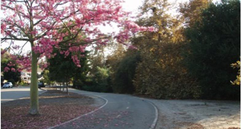
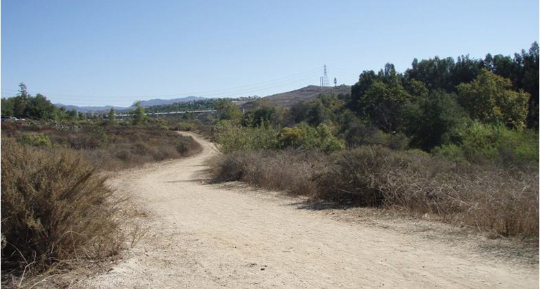
The Aliso Creek Regional Riding and Hiking Trail is a well-maintained bikeway and recreational trail extending from foothills of Orange County to the boundary of Laguna Beach. The continuous fifteen miles of asphalt bikeway designed for multi-use travel through five south county cities.
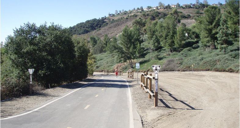
Photo by Alicia Raish
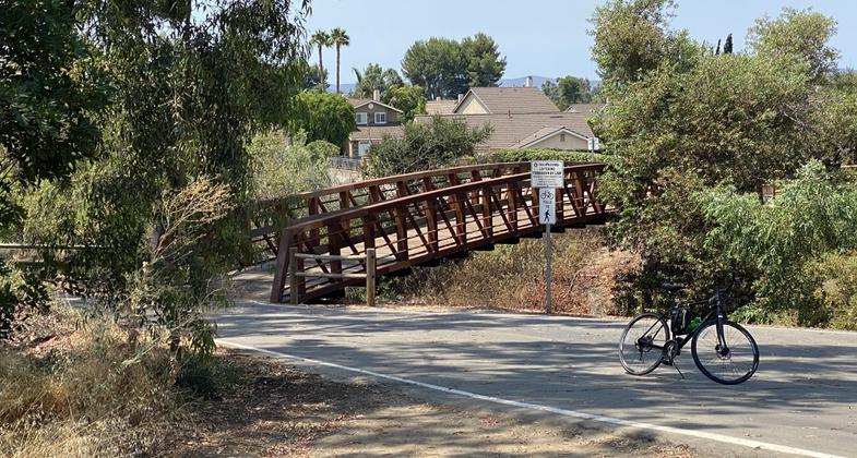
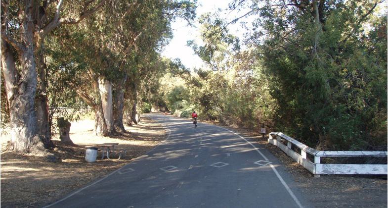
Two bridges cross the creek. One by Trabuco rd and the other just north of Jeronimo rd.
Location: The bikeway begins at El Toro Rd Santiago Canyon below Ridgeline Drive and parallels El Toro Road for a short distance then enters the Aliso Creek open Space.
- States: California
- Counties: Orange
- Cities/Townships: Lake Forest, Mission Viejo, Aliso Viejo, Laguna Hills, Laguna Niguel
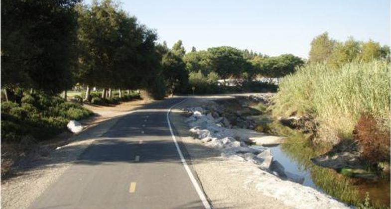
The Aliso Creek Regional Riding and Hiking Trail is a well-maintained class 1 bikeway and soft recreational trail extending from the foothills of Orange County to the boundary of Laguna Beach. The continuous fifteen miles of asphalt bikeway is designed for multi-use travel through five south county cities. The soft trail mirrors the asphalt bikeway path on either side of Aliso Creek traveling from the mountains to the sea. The ten-foot-wide bikeway was originally designed in the 1970s when the old El Toro Road was abandoned during the construction of a much larger and safer road. The County of Orange added the Aliso Creek Riding and Hiking Trail to the Master Plan of Recreational Trail Opportunities adopted by the Board of Supervisors. The County has employed a full-time dedicated team to inspect and maintain the trails and bikeways throughout the County of Orange. The team keeps the trail open year-round, responds to service requests, and plans routine repairs to long-term maintenance projects.
The bikeway begins at El Toro Rd Santiago Canyon below Ridgeline Drive and parallels El Toro Road for a short distance then enters the Aliso Creek Open Space. The bikeway connects to Whiting Ranch Wilderness Park continuing south passing the El Toro Community Golf Center and passing through the El Toro Community Park where the bikeway crosses the creek utilizing a low-water crossing.
A historical site of an adobe house built in the 1840s by Jose Serrano whose Rancho Canada stretched to the north and is featured at Heritage Hill Historical Park. This hacienda was a welcomed spot for travelers following the old Spanish "El Camino Real" during the late 1800s and was recognized 1n 1996 by the Historical Society and the Orange County Board of Supervisors.
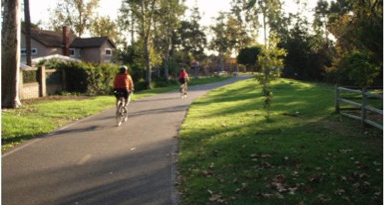
This bikeway links six public and private schools together to a community center, a large community church, two skate parks, and ten community parks. The number of participants using the Riding and Hiking Trail has increased dramatically over the past fifteen years from the City's connection to our bikeway, the increase in bikers commuting to work and recreation, increase in home development along the bikeway promoting healthy lifestyles.
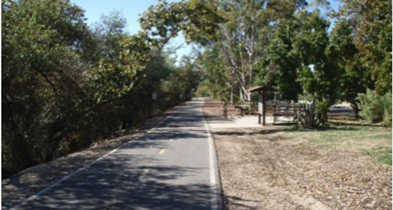
The soft trail side of the Aliso Creek Riding and hiking trail is a ten-foot-wide compacted soil trail that mirrors the asphalt bikeway path and travels on either side of the Aliso Creek home to native plants and wildlife. The highlighted amenity on the soft trail is a large equestrian/picnic area complete with trailer parking, horse corrals, and drinking water located inside the Saddleback Church parking lot.
This Regional Riding and Hiking Trail continues to the entrance of Aliso and Wood Canyons Regional Park extending to the southerly boundary in Aliso Canyon. The recommend planned improvement will add an additional mile to the Regional Riding and Hiking Trail connecting the route to the Pacific Ocean.
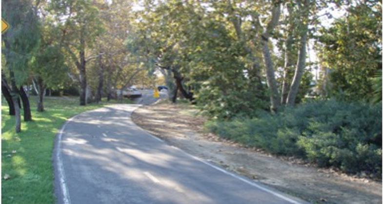
This Regional Riding and Hiking Trail offers a variety of geography and a wide range of recreational activities including, but not limited to, hiking, bicycling, walking, running, bird watching, and horseback riding. The well-maintained rest areas are provided along this fifteen-mile bikeway and trail with water and places to rest for commuters and recreational trail users.
Accessibility Information
No text provided.
Reviews
John Kendziora
Hasn't been maintained in years
Hasn't seen maintenance in over 5 years. You can't go 10 feet without hitting a crack that can eat your tire or a bump that will toss you over the handlebars. If your on a road bicycle. Be careful.
jay marker
Bike Trail south of Awma Road?
I rode down the Aliso Creek paved bike-path to Awma Road, trying to get to Laguna Beach. No signs at Awma pointed to any trail or way to follow Aliso Creek south. What gives? Laguna Beach brags about it's bike trails. What bike-trails? the only trails they show on their city map are on major streets. Can't anyone in OC post a decent bike trail map which shows every doggone trail??
Randy McMichael
Stop the proliferation of Chain link fencing along the path
I ride this path 3-4 times per week. Today 1/18/17 I noticed the county is installing another 100 foot section of chain link fencing along the path. I understand the fencing is to protect negligent parents that want to protect their kids from falling down the embankment created by creek erosion. The creek has been around for 100's of years and the neighborhood since the 70's. Why do we need to destroy the natural beauty with unsightly chain link fencing simply because parents can't teach their kids how to navigate their environment? The county's solution is cheap and thoughtless! Fix the erosion or plant bushes or install a more thoughtful barrier. STOP IT WITH THE CHAIN LINK FENCING! PLEASE!!!!!!!!!!!!!!
Allowed Uses:
Bicycling Dogs, on leash Equestrian Hiking/WalkingOther Activities
- Heritage and history
- Wildlife viewing / observation
Public Contact
County of Orange1 Irvine Park Rd.
Irvine, CA 92862
(714) 973-6680
Contact the trail manager for current maps and visiting details.
More Details
- Elevation (low): --
- Elevation (high): --
- Elevation (cumulative): --
- Part of a Trail System? No
- Surface (primary): Paved
- Surfaces (additional): Soil
- Tread Width (average): 120"
- Tread Width (minimum): 120
- Running length (minimum): --
- Tread Grade (average, percent): --
- Tread Grade (maximum):
- Running length (maximum): --
- Cross-slope (average, percent): 4
- Cross-slope (maximum): --
- Running length (maximum): --
- Certified as an NRT
May 29, 2012