Air Line State Park Trail - South
check with the trail manager for updated details before visiting.
Air Line State Park Trail - South
State
Frontcountry Trail
Rail Trail
- Length
21.8 miles
- Elevation Gain
--
- Route Type
out & back
(2 reviews)
- Length
21.8 miles - Elevation Gain
-- - Route Type
out & back
The Air Line State Park Trail is an abandoned railroad line that runs through rural central Connecticut.

photo by Stan Malcolm.


Water Snake. Photo by Stan Malcolm.

Luna Moth. Photo by Stan Malcolm.
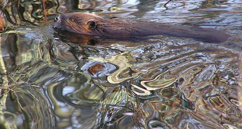
Beavers' Wake. Photo by Stan Malcolm.
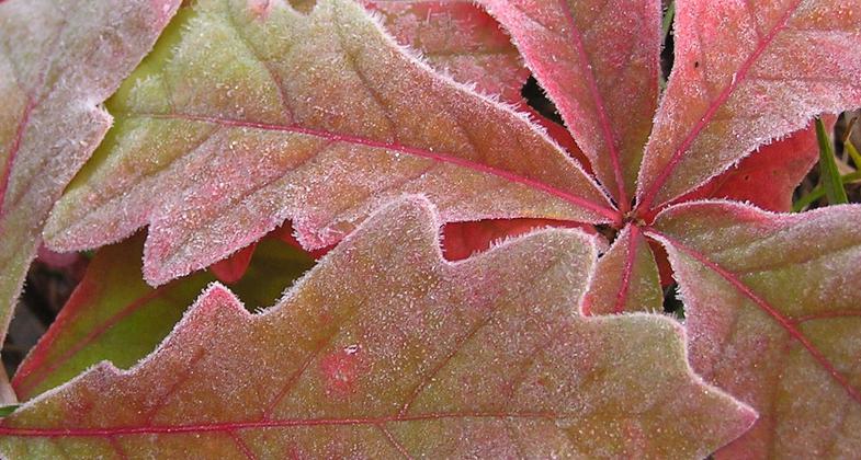
Frosted Oak Leaves. Photo by Stan Malcolm.
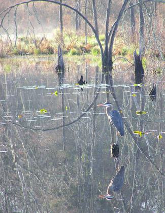
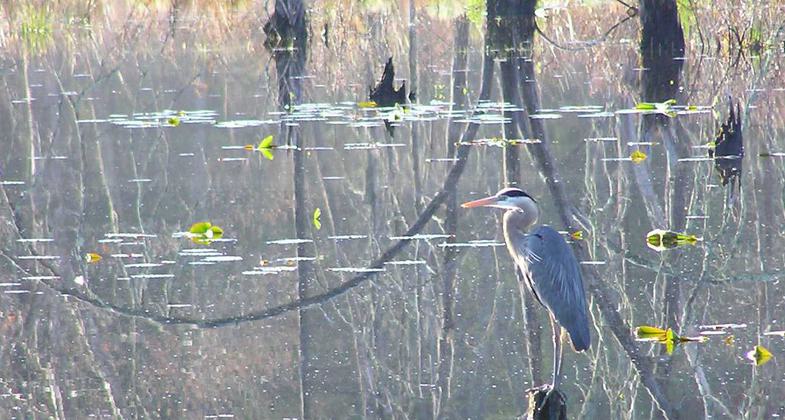
Great Blue Heron. Photo by Stan Malcolm.

Canada Geese goslings in Duckweed. Photo by Stan Malcolm.


Location: East Hampton, Colchester, Hebron, Lebanon
- States: Connecticut
- Counties: New London, Tolland, Middlesex
The Air Line State Park Trail is an abandoned railroad line that runs through rural central Connecticut. Approximately eleven miles have been resurfaced with stone dust and bridges; parking lots are near completion. Another ten miles are scheduled to be completed and are presently under construction.
The trail passes through forests, rock-cuts, meadows, and borders wetlands and marsh areas. Several rivers and streams are crossed with two viaducts that provide wonderful views of the area.
Photo by Stan Malcolm
Accessibility Information
No text provided.
Reviews
Janie Walker
Beautiful walk by meadows and water
Hiked March 16-17, 2024. This is a lovely, wide, multi-use rail trail of crushed gravel with no hard pavement, so it’s easy on the feet and knees. The trail runs past meadows, ponds, and marshes. Beautiful scenery. Signs here and there inform you of the railroad history. Saw a ton of happy and friendly locals walking, jogging, and biking. Truly an enjoyable and relaxed way to traverse a bunch of miles. Trish Ellis (aka Janie Walker)
Aart Hoogenboom
Great in all seasons!
Wonderful multi-use trail. Perfect for family outings all year. A bonus are the historical aspects of this former railroad. Bring your camera!
Allowed Uses:
Bicycling Dogs, on leash Hiking/Walking Snow, cross-country skiingOther Activities
- Snow, snow play general
Public Contact
David BuckleyConnecticut State Parks
209 Hebron Rd.
Marlborough, CT 6447
[email protected] • (860) 424-4173
Contact the trail manager for current maps and visiting details.
More Details
- Elevation (low): 260
- Elevation (high): 480
- Elevation (cumulative): --
- Part of a Trail System? No
- National Designations: None/unknown
- Surface (primary): Rock, crushed
- Surfaces (additional): Rock, crushed
- Tread Width (average): 96"
- Tread Width (minimum): --
- Running length (minimum): --
- Tread Grade (average, percent): --
- Tread Grade (maximum): 5
- Running length (maximum): --
- Cross-slope (average, percent): --
- Cross-slope (maximum): --
- Running length (maximum): --
- Certified as an NRT
n/a