Agonikak National Recreation Trail
check with the trail manager for updated details before visiting.
Agonikak National Recreation Trail
USDA Forest Service
Urban Trail
- Length
12 miles
- Elevation Gain
--
- Route Type
out & back
- Length
12 miles - Elevation Gain
-- - Route Type
out & back
Located on the Ottawa National Forest, this 12-mile trail connects Watersmeet, Michigan to Land O' Lakes, Wisconsin.


Location: Located on the Ottawa National Forest
- States: Michigan
- Counties: Gogebic
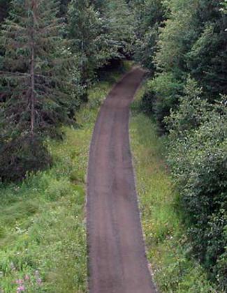
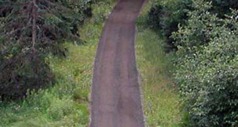
Located on the Ottawa National Forest, this 12-mile trail connects Watersmeet, Michigan to Land O' Lakes, Wisconsin. The Agonikak Trail is a component of the 38-mile Wilderness Lakes Trails' bike and pedestrian system that traverses 2 states and encircles the Sylvania Recreation Area. The Agonikak bike and pedestrian trail can be accessed at the Watersmeet Town Park, the Ottawa National Forest Visitor Center in Watersmeet, or the Michigan Department of Transportation Rest Area located on the Border of Michigan and Wisconsin on Highway M-45. Caution should be used on the first half mile of trail in Watersmeet, which is co-located on an ATV/snowmobile route. The rest of the route is closed to motorized use.
Accessibility Information
No text provided.
Allowed Uses:
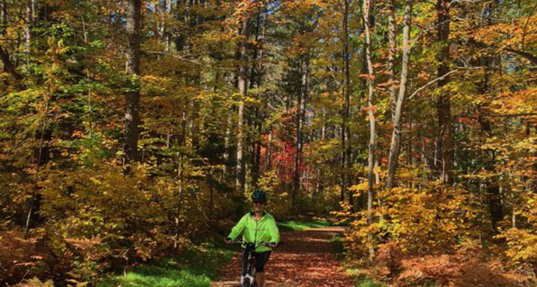
Bicycling Dogs, on leash Hiking/Walking Snow, snowshoeingOther Activities
- Snow, snow play general
Public Contact
Ottawa National Forest Visitor CenterE23949 US 2 East
Watersmeet, MI 49969
(906) 358-4724
www.fs.usda.gov/ottawa
Contact the trail manager for current maps and visiting details.
More Details
- Elevation (low): 1400
- Elevation (high): 1600
- Elevation (cumulative): --
- Part of a Trail System? No
- Surface (primary): Soil
- Surfaces (additional): Soil
- Tread Width (average): 127"
- Tread Width (minimum): --
- Running length (minimum): --
- Tread Grade (average, percent): --
- Tread Grade (maximum):
- Running length (maximum): --
- Cross-slope (average, percent): --
- Cross-slope (maximum): --
- Running length (maximum): --
- Certified as an NRT
Dec 7, 1978