Beach to Bay Indian
This information is a public record of the 1993 NRT application and may be out of date if it has not been updated by a trail manager --
check with the trail manager for updated details before visiting.
check with the trail manager for updated details before visiting.
Beach to Bay Indian
Nonprofit
- Length
100 miles
- Elevation Gain
--
- Route Type
out & back
- Length
100 miles - Elevation Gain
-- - Route Type
out & back
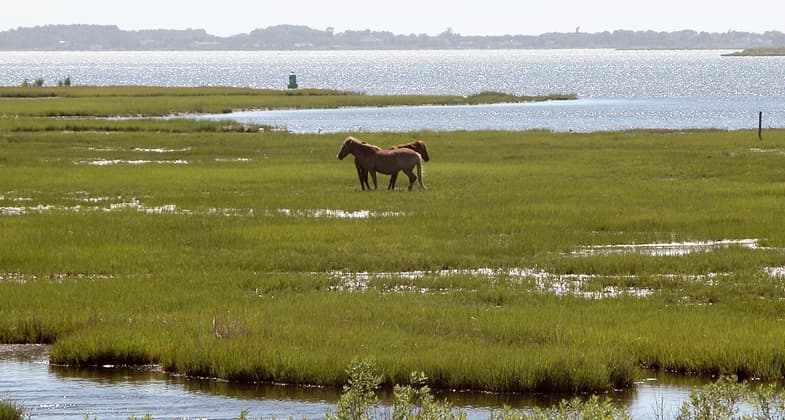
Wild Horses on Assateague Island. Photo by wiki Fritz Geller-Grimm.
Worchester Highway at Maryland SR 756 near Pocomoke City. Photo by Wiki Famartin.

Nassawango Iron Furnace Site. Photo by NPS.
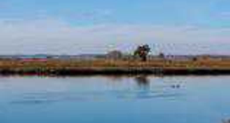
Assateague Island Old Ferry Landing. Photo by NPS.
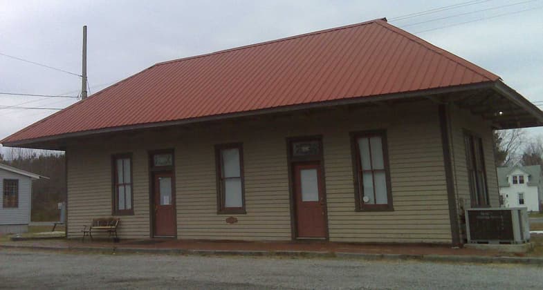
Train station in Marion Station, Maryland, facing MD 667. Photo by Wiki Onore Baka Sama.
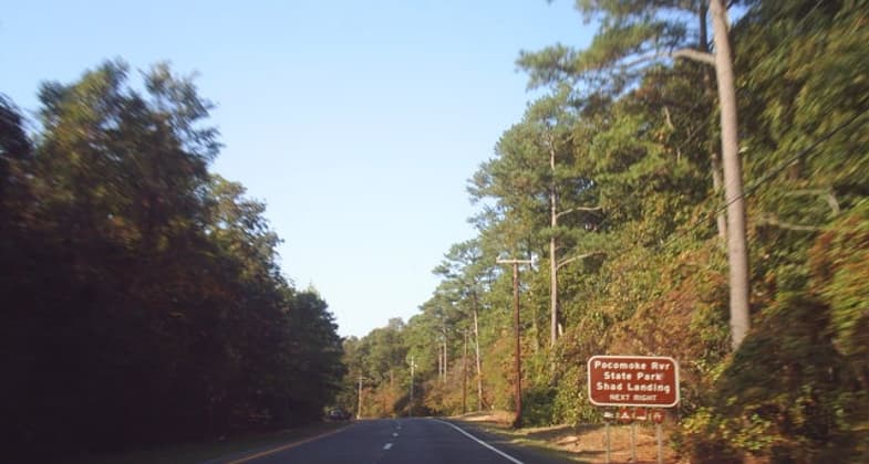
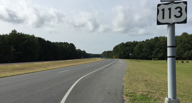
US 113 southbound near Shad Landing. Photo by Wiki Doug Kerr.


Location:
- States: Maryland
Self-guided driving tour on state and local byways from Pocomoke City to Ocean City, following patterns established by Algonquian tribes. Ties together parks, historic sites, and natural areas.
Accessibility Information
No text provided.
Allowed Uses:
Hiking/WalkingPublic Contact
Kathy FisherBeach to Bay Indian Trail Committee
P.O. Box 208
Snow Hill, MD 21842
(410) 632-20320
Contact the trail manager for current maps and visiting details.
More Details
- Elevation (low): --
- Elevation (high): --
- Elevation (cumulative): --
- Part of a Trail System? No
- Surface (primary): --
- Surfaces (additional): --
- Tread Width (average): 0"
- Tread Width (minimum): --
- Running length (minimum): --
- Tread Grade (average, percent): --
- Tread Grade (maximum):
- Running length (maximum): --
- Cross-slope (average, percent): --
- Cross-slope (maximum): --
- Running length (maximum): --
- Certified as an NRT
Oct 7, 1993